



· Yogesh Khedar· Operations· 4 min read
100 MP vs 20 MP — What Is Really in the Sensor
Megapixels are not resolution on target. Field experience from inspection projects on when 20 MP wins, when 100 MP earns its keep, and what the data costs.
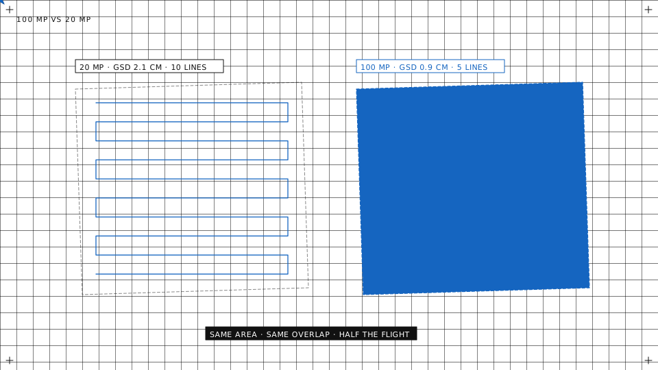
Sensor spec sheets sell megapixels. Field work teaches something more nuanced: a megapixel count is not resolution on target, and the biggest number is not always the right choice. This is what flying both classes over the same structures in our inspection projects, AeroInspekt and BridgeInspect among them, actually taught us.
Megapixels are not resolution
What resolves a defect is the ground sample distance on the target: how many millimetres of concrete, steel or glass one pixel covers. That number comes from five things together, and the sensor’s pixel count is only one of them.
- Distance. Halving the distance to the surface halves the GSD. No sensor upgrade matches what a few metres of approach buy.
- Focal length. A longer lens on the same sensor gives a finer GSD at the same distance, at the price of a narrower footprint and more photos.
- Sensor size. A 100 MP medium-format sensor and a 20 MP one-inch sensor do not differ by a factor of five in what they resolve; the larger pixels of the big sensor also collect more light, which matters in the shade of a bridge deck.
- Motion. Shutter speed against aircraft speed and the gust that arrived during the exposure. A smeared 100 MP frame resolves less than a sharp 20 MP one.
- Lens quality. Aberration at the frame edge eats the resolution the centre promises, and inspection defects have a habit of sitting at the edge.
So the first question is never “how many megapixels” but “what GSD does this defect class need, and can I get close enough to reach it with the small sensor”.
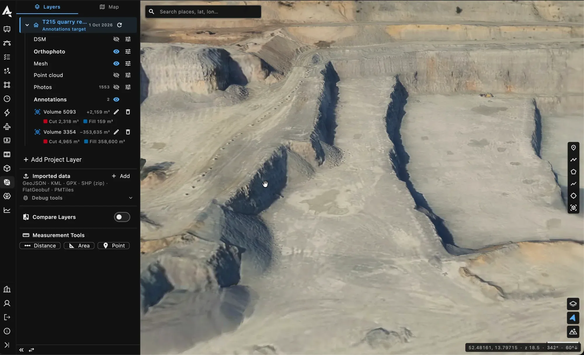
The 3D mesh of a quarry built from one survey flight, in the project viewer.
What the field showed
Over the same bridge piers, facade sections and industrial structures, the two classes sorted themselves out by distance, not by quality.
The 100 MP class earned its keep where standoff was forced on us: crack mapping on piers we could only approach from the water side, facade work with a safety margin around live equipment, and anything where the authority’s minimum distance to the structure was set in metres rather than negotiated per flight. At equal distance it resolved hairline cracks that the 20 MP class recorded as a texture.
The 20 MP class won on everything that follows from flying closer and lighter: more area per battery, a smaller aircraft in confined spaces under a deck, faster turnaround between flights, and a deliverable that clients accepted for the large majority of visual findings: spalling, corrosion staining, missing bolts, vegetation, joint condition, drainage.
The surprise was how much the flight itself moved the result. Overlap, speed, light and a steady approach changed what we could see more than swapping cameras did. A disciplined 20 MP flight beat a hurried 100 MP flight every time we compared them.
The cost side nobody prints
A 100 MP campaign produces several times the data of a 20 MP one over the same asset. That is not a storage line item; it is time. Uploads from the site take longer, the photogrammetry run takes longer, and the engineer reviewing the images spends longer per structure. If the defect class does not need the resolution, that tax buys nothing, and it arrives on every flight of the programme, not once.
There is a second cost on the aircraft side. The medium-format payload needs a larger airframe, which needs a larger operating area, a longer pre-flight and, in many jurisdictions, a different authorisation. The sensor choice quietly becomes an operations choice.
A short decision guide
- Wide-area survey, routine visual checks, progress documentation: the 20 MP class, flown close and flown well.
- Forced standoff, fine crack detection, evidence-grade detail for a structural engineer: the 100 MP class, with the data plan to match.
- Mixed campaigns: fly both, each where it is strong, and keep the images of one asset together so the two sets can be compared on the same map.
The last point is where the platform earns its place. In AutrikOS the photos of every flight land in a project filed by flight, the survey plan records the camera it was flown with, and two dates of the same plan can be compared waypoint by waypoint. The sensor can change between campaigns; the record of the asset does not.
Choosing a sensor for an inspection programme? We have opinions, and field data behind them, including on whether the cheap option already covers it.