



· Yogesh Khedar· Operations· 4 min read
You Do Not Need an Expensive Drone for Useful Work
Solar site assessment, panel layout, area measurement and 3D models for visualisation — a surprising amount of valuable work fits a consumer-class drone.
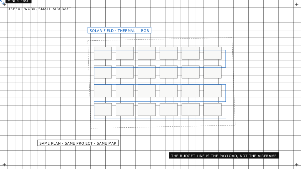
The drone industry loves to sell the top shelf: RTK everything, medium-format sensors, enterprise price tags. For some work that is justified; we wrote about when big sensors earn their keep. But a surprising amount of valuable work fits a consumer-class aircraft costing a tenth as much, and it is worth being honest about where that line runs.
The solar example
Solar work is the clearest case. A small aircraft with its stock camera, flown in a simple grid at 60 m, produces an orthomosaic that answers real planning questions.
- Area and layout. How much usable roof or field is there, measured off the orthomosaic to a precision that planning does not need RTK for. A few decimetres of absolute error do not change the panel count.
- Panel arrangement. Row spacing, orientation, obstruction mapping. Chimneys, vents, trees and their shadows at the time of the flight, straight from the stitched image.
- Panel counting and documentation. As built against as planned, per row, without anyone walking the array.
- Visual condition. Broken glass, heavy soiling, vegetation encroachment, disconnected cabling. Visible in ordinary RGB from a cheap aircraft.
The one thing budget hardware does not do is thermal cell-level diagnostics. Finding failed strings, bypass-diode faults and hot spots needs a radiometric thermal camera, flown at the line spacing the thermal sensor needs, and that is where inspection-grade equipment starts paying for itself.
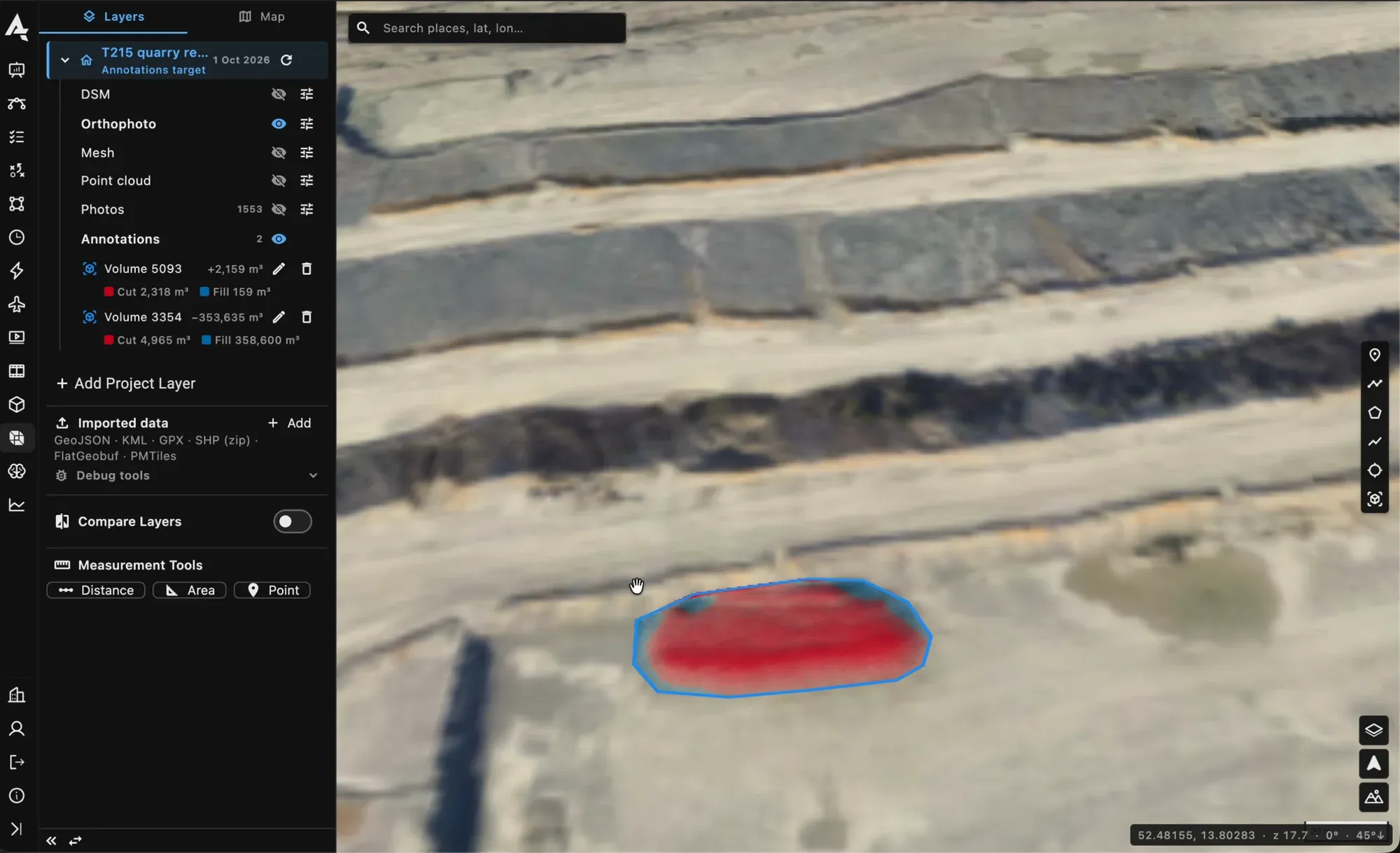
A volume measured on the elevation model of a survey, cut shown in red.
3D models for visualisation
The same flights produce photogrammetric 3D models, and for visualisation, consumer-drone models are excellent: showing a client their roof, planning camera or panel placements, communicating a site to people who have never been there. An oblique pass around the building adds the facades, and the model opens in the browser on the map, where it belongs.
The distinction that matters is visualisation-grade against measurement-grade. The first needs a cheap aircraft and an automated processing pipeline. The second needs ground control points or RTK, calibrated optics and a survey mindset. Most solar planning is the first kind.
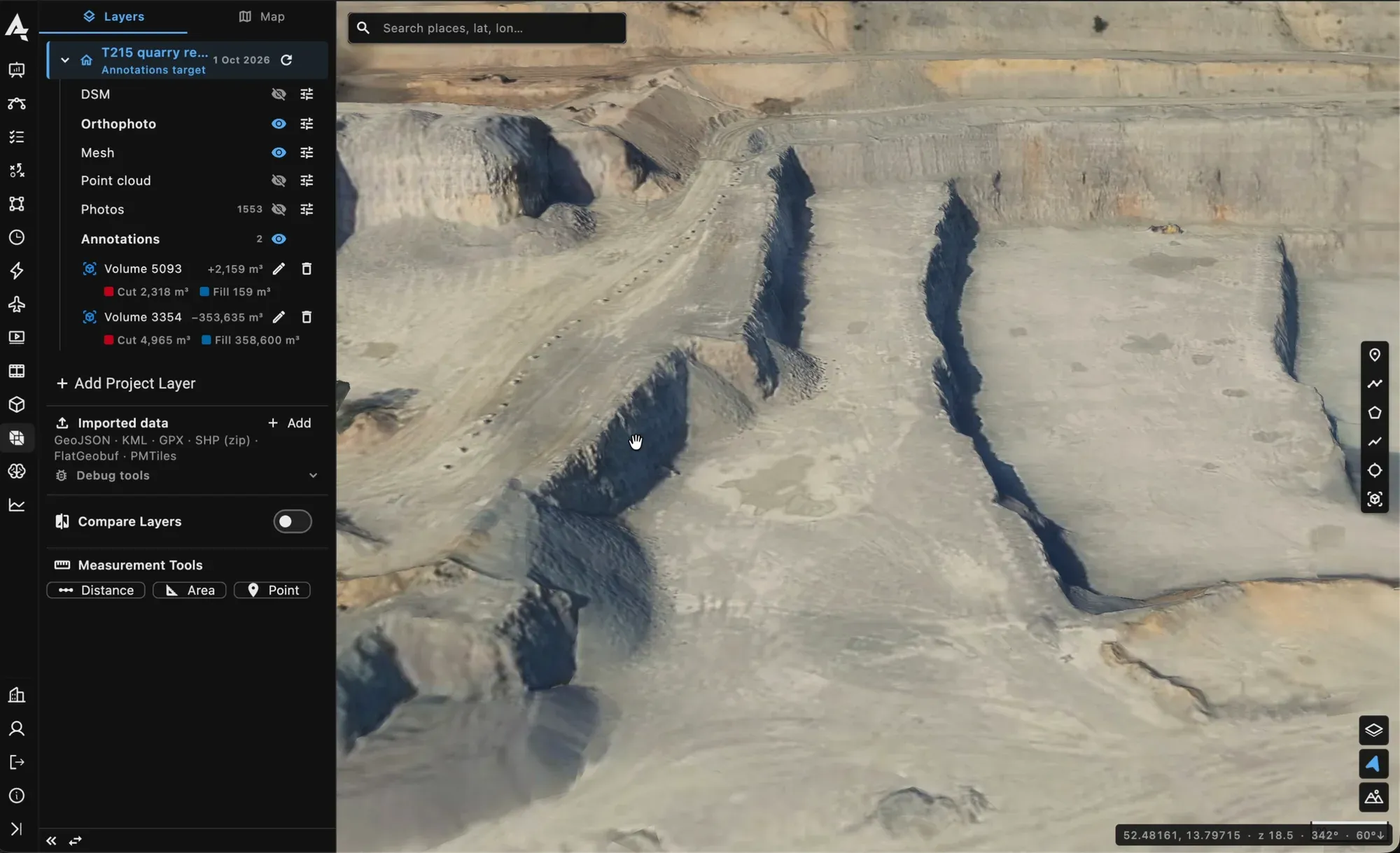
A photogrammetric mesh opened on the map in the project viewer.
Where the budget line actually runs
Cheap aircraft are limited by three things, none of which stops the work above.
A rolling shutter: fly slower, and accept that the model is for looking rather than for engineering. No RTK: use a few ground control points if the deliverable needs absolute position, or accept relative accuracy if it does not. Short battery life: smaller sites per flight, or more flights, which a planned mission handles by itself.
What changes at the professional end is accuracy guarantees, thermal diagnostics, and repeatability at fleet scale, which is its own discipline. None of those is a reason to start there.
The same workflow at both ends
Start cheap, learn the workflow, and upgrade when a deliverable demands it, not a brochure. The platform treats both ends the same: the plan is drawn once on the map, the aircraft flies it, the photos land in a project, processing runs on the server, and the orthomosaic and model open in the viewer. A Mini and a Matrice fly the same survey plan with different line spacing, because the planner knows both cameras.
When the upgrade comes, nothing is thrown away. The site, its plans, every flight’s photos and every processed map stay in the same project, so the first survey from the cheap aircraft is still there to compare against the tenth from the expensive one.
Wondering whether your use case fits the cheap end? Ask us. We will tell you honestly if it does not.