



Survey plans, processing, measurements · AutrikOS
Surveying
Survey once, repeat it exactly
You own the aircraft and the cameras and you know photogrammetry. AutrikOS handles the part around it: plans that are flown the same way every visit, photos that arrive in the right project, processing, and a link for the client.
Planning
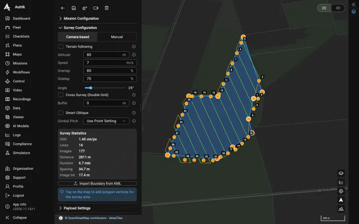
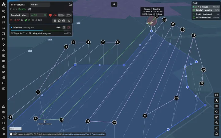
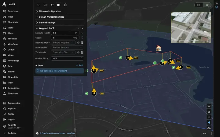
Grids from your camera and your ground resolution
About the mission planner→
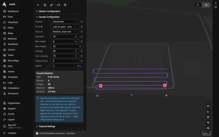
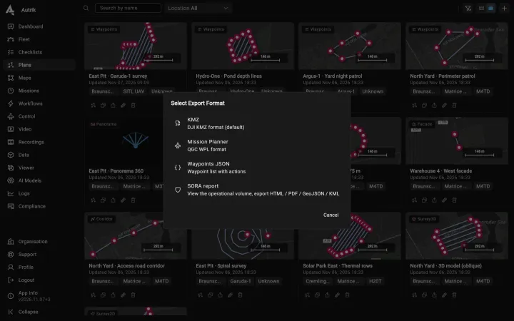
- Area, corridor or façadeDraw the area or import it from KML; grids, corridors and façade plans with the overlap you set.
- Height from the sensorFlight height and photo spacing are calculated from the camera and the ground resolution you want.
- A plan per client siteSaved plans are reused, so the next acquisition matches the last one; plans can also be exported for use outside AutrikOS.
Survey planning
Results
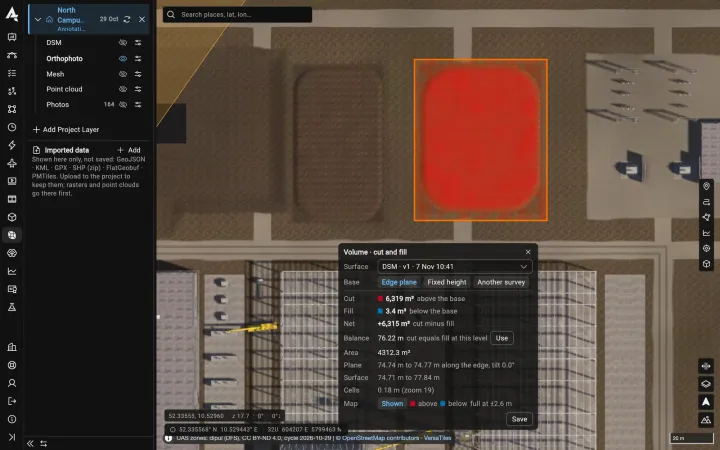
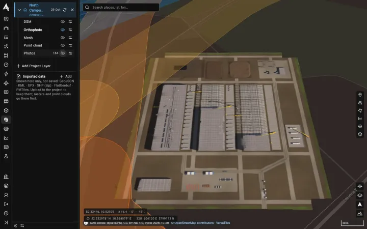
Processing and measuring in the project
Results download in standard formats for your own GIS and CAD tools. AutrikOS does not state an accuracy for its maps: that depends on your control points and your workflow, and you keep it in your hands.
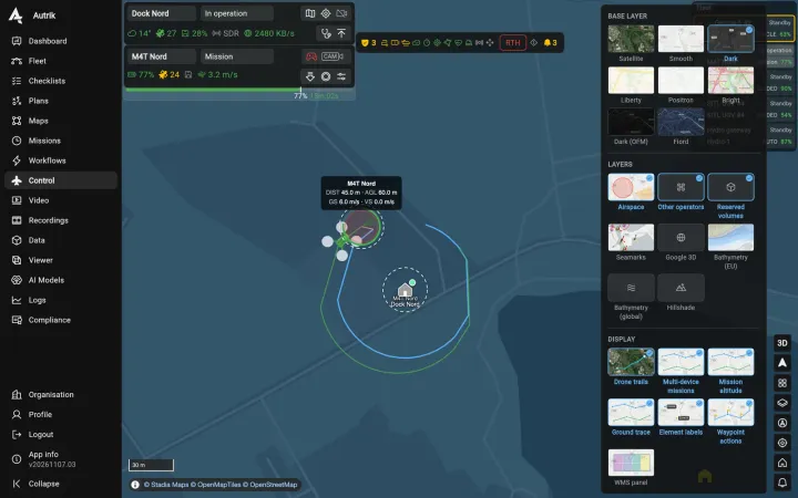
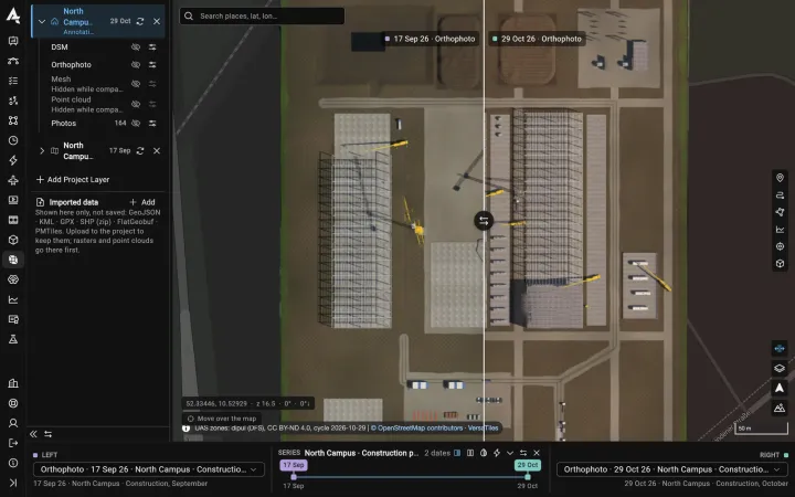
About mapping→- Photos arrive by themselvesMedia syncs from the aircraft or dock into the project of that flight.
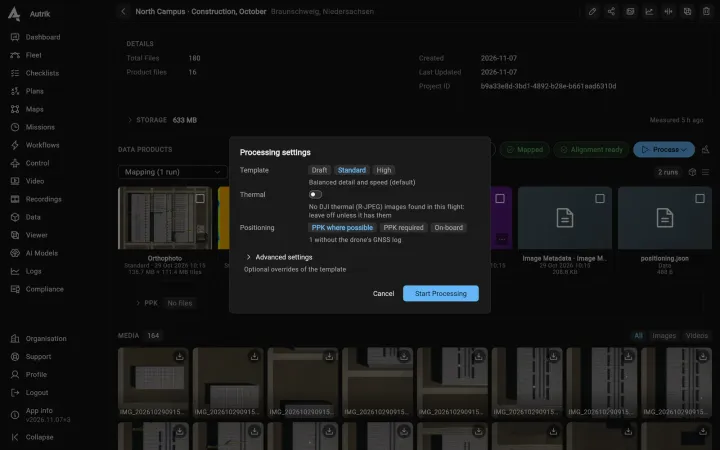
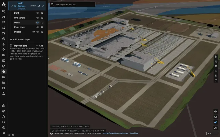
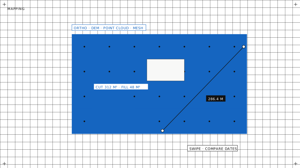
- Orthomosaic, elevation model, point cloudProcessing runs on our servers from the project; every run is kept with its settings, so you can compare them.
- Distances, areas and volumesMeasure in the browser on the processed layers and compare two dates of the same site.
Hand-over
Deliverables by link, data where you want it
About data sync and storage→
- A link for the clientView only, or view and download, with an end date. The client opens it in a browser without an account.
- Your bucket if you wantKeep the data in our storage in Germany or in an S3 bucket you own.
- Sensors you already useMapping cameras on DJI, ArduPilot and PX4 aircraft; ask us about a specific model.Supported sensors→
A share link
Tell us how you survey
Tell us your aircraft, your cameras and what your clients receive. We will show you that workflow on AutrikOS.